The Rum River
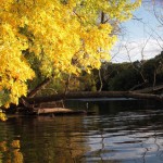
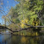
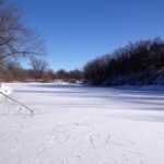
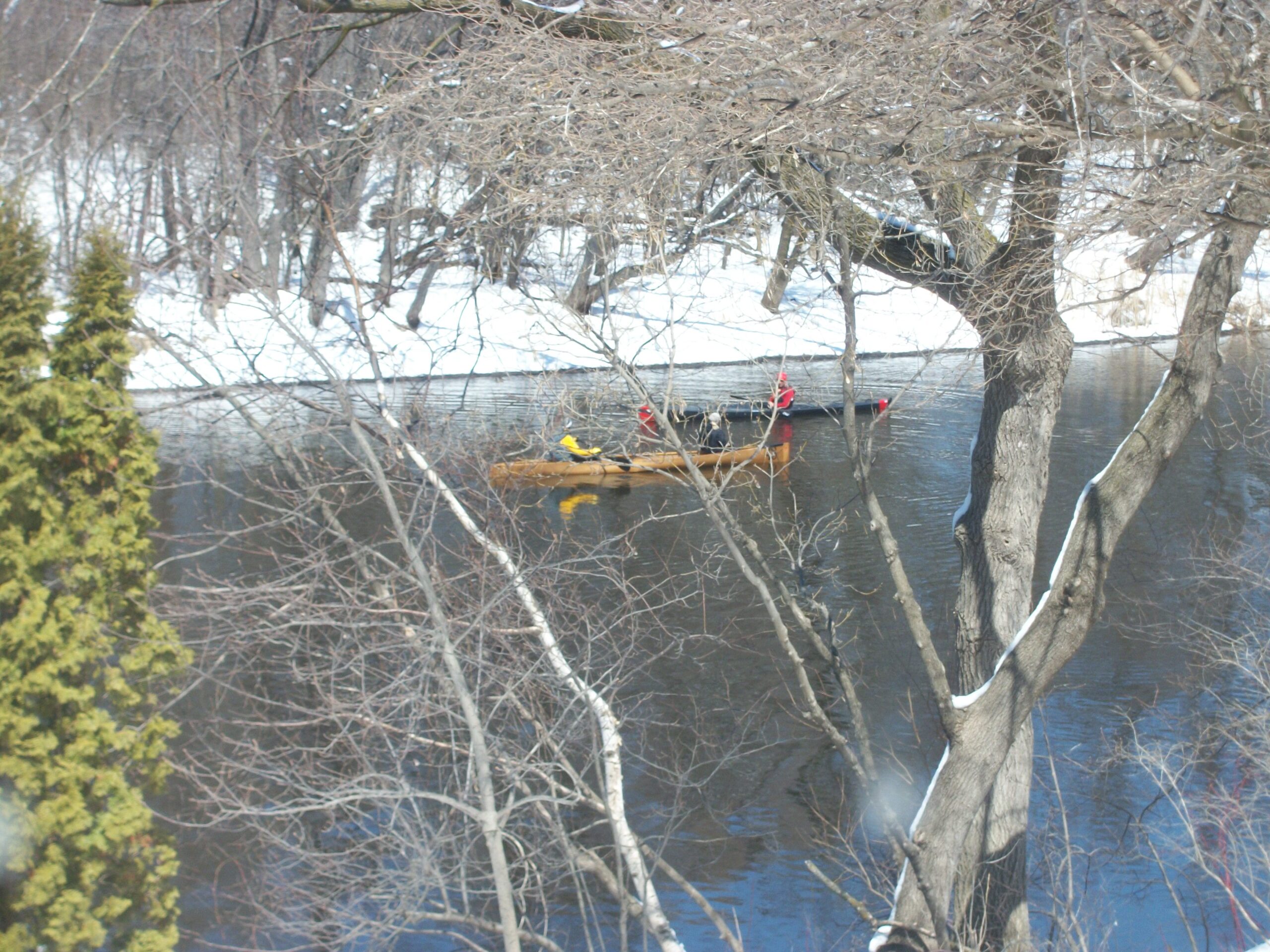
The historic and scenic Rum River is the natural western boundary of the ANP, running more than a mile along the nature area. Including two significant backwater wetlands, the Rum River is a federally designated ‘scenic waterway,’ and as such, is protected by statute from development and shoreline modification. It is also a designated Minnesota state canoe route, as it was more than a hundred years ago for native American residents, French traders, trappers, and later on, loggers using the Rum and Mississippi rivers.
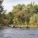
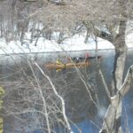
Like the era of traders and native Americans a century ago, it is still a busy canoe route for recreational touring canoes, canoe racing teams training for competition, and many kayaks using the waterway for enjoyment and fitness activity. It’s important to note the the majority of the lower Rum River watershed is a designated ‘no-wake‘ zone for powerboats, to reduce the damage to sensitive shoreline. This is true for the Rum in the cities of Anoka, Andover, and Ramsey by ordinance.
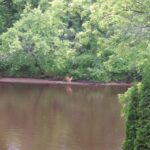
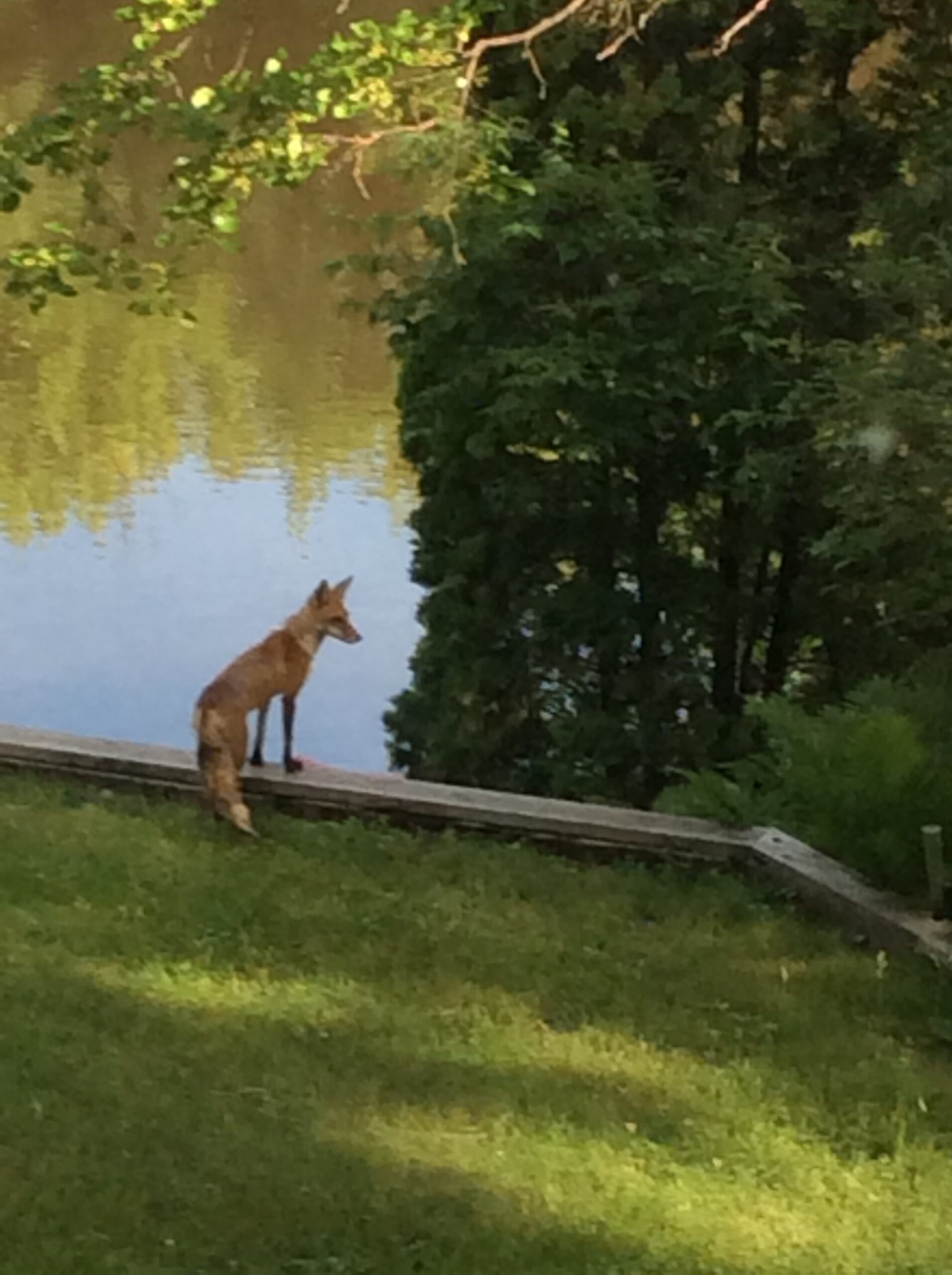
Often, students from Anoka High School’s “Outdoor Adventures” program, and classes from the Physical Education department will use the river for instructional activities. Science classes have provided rich information about the plant and animal life in the park, as well as collecting data for many years on the water quality of the Rum River.
No Comments »
RSS feed for comments on this post. TrackBack URL